


Having spent the last 5 seasons trying, and mainly failing, to go XC, I was starting to wonder if I should take up knitting instead. However, being stubborn can sometimes pay off, especially when all your good luck comes in one flight…
A pretty uninspiring sky at Combe when I arrived, lots of top cover and the only cumulus off in the distance to the north. Despite this, after taking off it was quickly apparent that the air was good. So, I flew about for a bit, wondering why nobody else was bothering, and gradually cu started forming over and behind the hill. The wind was due to go off to the west so I didn't want to hang around too long. I set off probably about 20 minutes too early and then nearly decked it grovelling back to the hill. First luck of the day - a booming climb behind the ridge, with another Chili 3 for company. Right, no more faffing, just go.
The first part of the flight was pretty easy, with all the clouds working. When the sun came out properly, the thermals were a bit too vicious for my delicate disposition, swatting me away like a nagging fly. Stubborn, I dug back in each time and gradually climbed, between various wing origami events.
At Alresford Amen Corner, the day changed quickly. Much thicker top cover came in, giving shade over a large area. I got myself in a bit of a pickle here and had another dose of luck with a surprisingly strong low save, although it soon fizzled out, or, more likely, I lost it. From then on, it was full on grovelling mode, with cu still forming, but only with slow climbs underneath. Another low-ish save was marked by gulls (but I found a better core, stoopid gulls)
So, past Midhurst and I'm into new territory. Much one-handed map reading/thermalling faffery later, I decided to head for Selsey Bill, because it looked nice. Wonderful views of Chichester cathedral (where I sang as an angelic choir boy, bless) and the coast had me almost relaxing, but not quite. There was some weird air about and I was starting to flag mentally.
Just past Chichester, it's clear that Selsey is in sea ir. Hmmm, brain like treacle, sea air, convergence, errr maybe I should follow the coast… So left turn and off we go. It didn't look like sea breeze convergence (not that I know what it looks like but I read a book once), but it must have been, because I didn't turn very much for the next bit of the flight. I quite enjoyed flying along the coast, in a dreamy state of disbelief; it shouldn't be this easy, what is about to go wrong… But, my paranoia was, well, just that.
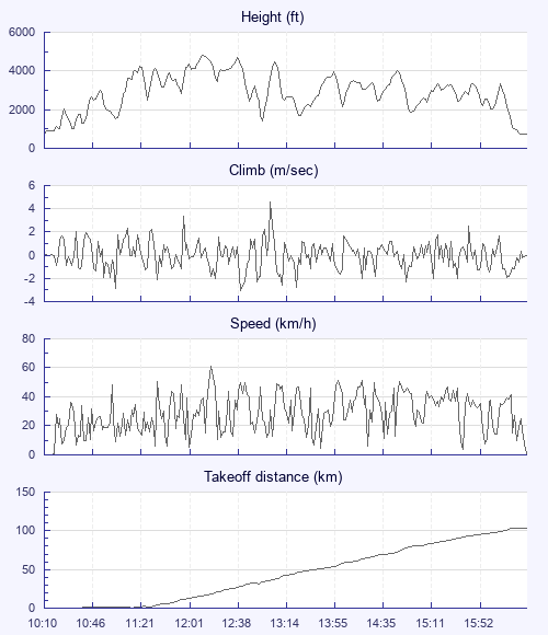
Approaching Shoreham I decided to at least try and push inland. Despite the air being lifty, I had never got very high, and so expected to deck out pretty quickly. Lucky boy again, a weak climb near Steyning gets me the height I need to reach the Dyke. I do the whole 'watching the distance tick over from 99.9 to 100km' thing (oh, no decimal point after 100, is my first rather geekish thought); and as the monkey climbs off my back I bid him farewell.
I landed rather untidily (and downwind, cough) on a surprisingly unbusy Dyke. A couple of pilots say Hi and ask about my flight, but there's not much fuss, just how I like it. Off to the bus stop, and I'm looking at the tourists, wondering if I could be truly happy just doing normal things. Part of me wishes I could, but for now, the knitting will have to wait.